DOWNLOAD DATA
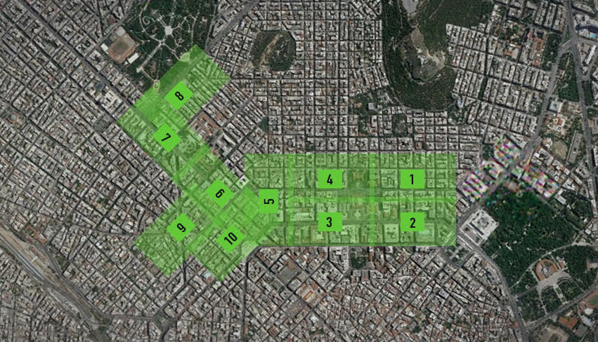

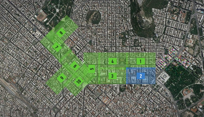
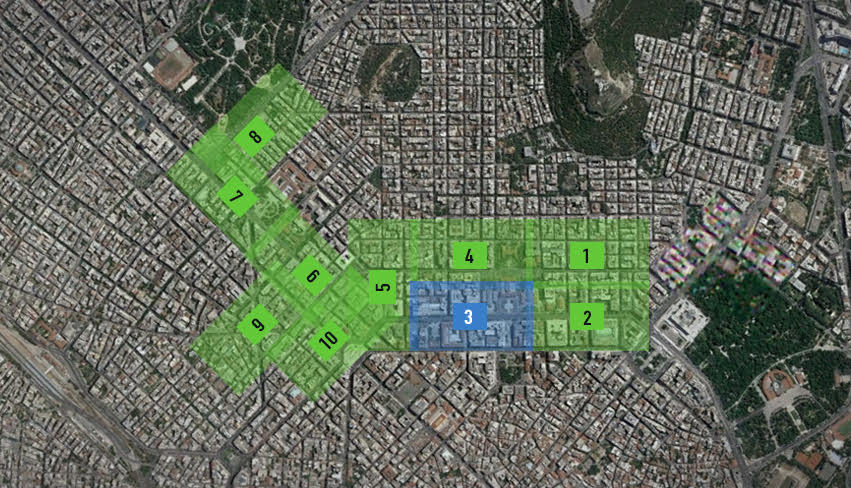
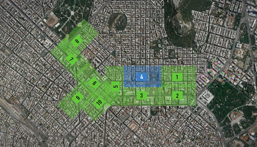
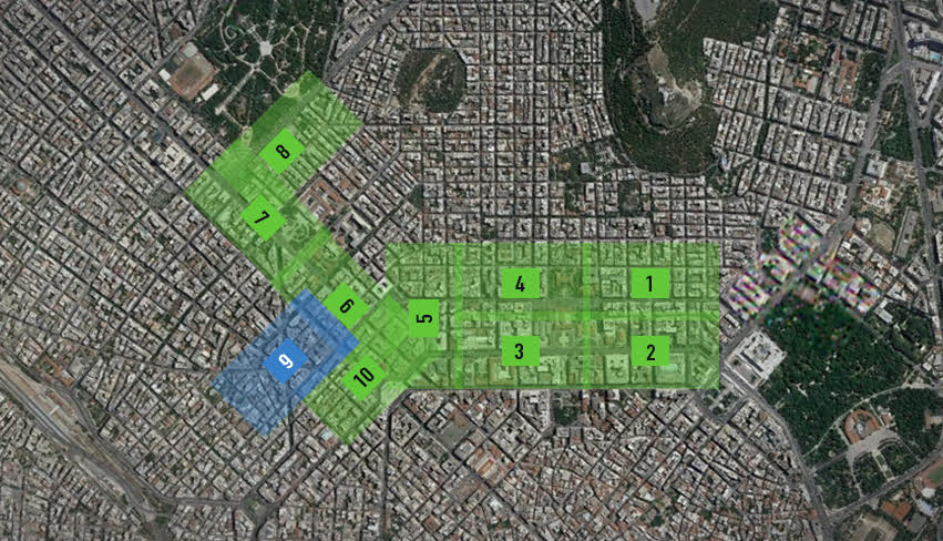
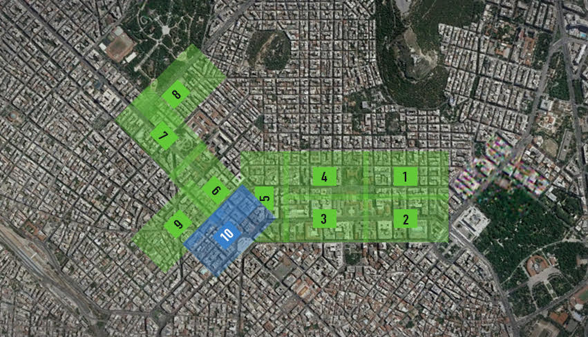
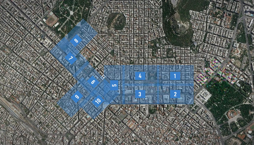
Do not forget to visit the πNEUMA Blog categorised by code to download the openly shared codes from various open source projects
pNEUMA dataset © 2020 by E. Barmpounakis and N. Geroliminis is licensed under CC BY-NC 4.0
FAQ
– each row represents the data of a single vehicle
– the first 10 columns in the 1st row include the columns’ names
– the first 4 columns include information about the trajectory like the unique trackID, the type of vehicle, the distance traveled in meters and the average speed of the vehicle in km/h
There are 6 types of vehicles. These are Car, Taxi, Bus, Medium Vehicle, Heavy Vehicle, Motorcycle.
The dimensions of the different types of vehicles are given below in meters:
- Car and Taxi: 5 x 2
- Medium Vehicle: 5.83 x 2.67
- Heavy Vehicle: 12.5 x 3.33
- Bus: 12.5 x 4
- Motorcycle: 2.5 x 1
There are 58 bus stations, most of them being curbside stops.
A complete methodology to extract lane-wise information is described in Barmpounakis, E., Sauvin, G. M., & Geroliminis, N. (2020). Lane Detection and Lane-Changing Identification with High-Resolution Data from a Swarm of Drones. Transportation Research Record, https://doi.org/10.1177/0361198120920627 (click here).
One of the drones instead of 25 FPS recorded the traffic streams in 23.97 FPS. Since the frequency of the explored dataset is depended on the number of frames, this affects the time frequency of the dataset. We advise to use resampling techniques for consistency with the rest of the datasets.
These trajectories are mostly conducted by motorcycles that sometimes may have unconventional trajectories, for example move on pedestrian streets.
Another reason can be drone movements during that reduced the quality of the georegistration process. Such an example is dataset 20181024_d4_0830_0900.csv
For various technical issues one or more drones may have stopped recording. Thus, the corresponding drone’s data will be missed, while all the other drones would still keep working.
The information about the signal timing plans for the signalised intersections is not available. However, since in Athens they are pre-timed, this information can be obtained by the dataset (recognising cycle lengths, splits and offsets etc.).
